AIRPORT MAINTENANCE
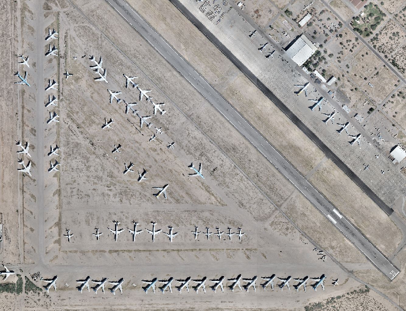
Coolidge Airport
Coolidge, AZ
Cooper Aerial was hired to provide 1’ mapping including full planimetrics for 1,800 acres of property at the Coolidge Airport. Georeferenced mosaic orthorectified imagery was produced at 3.5cm. Mapping was delivered in AutoCAD format and included 2D and 3D planimetrics; DTM file and Ascii files were included.Conventional survey services included setting aerial control targets on site, and locating client requested spot elevations and inverts.
Westside RSA Grading & Drainage Study
Laughlin/Bullhead City International Airport
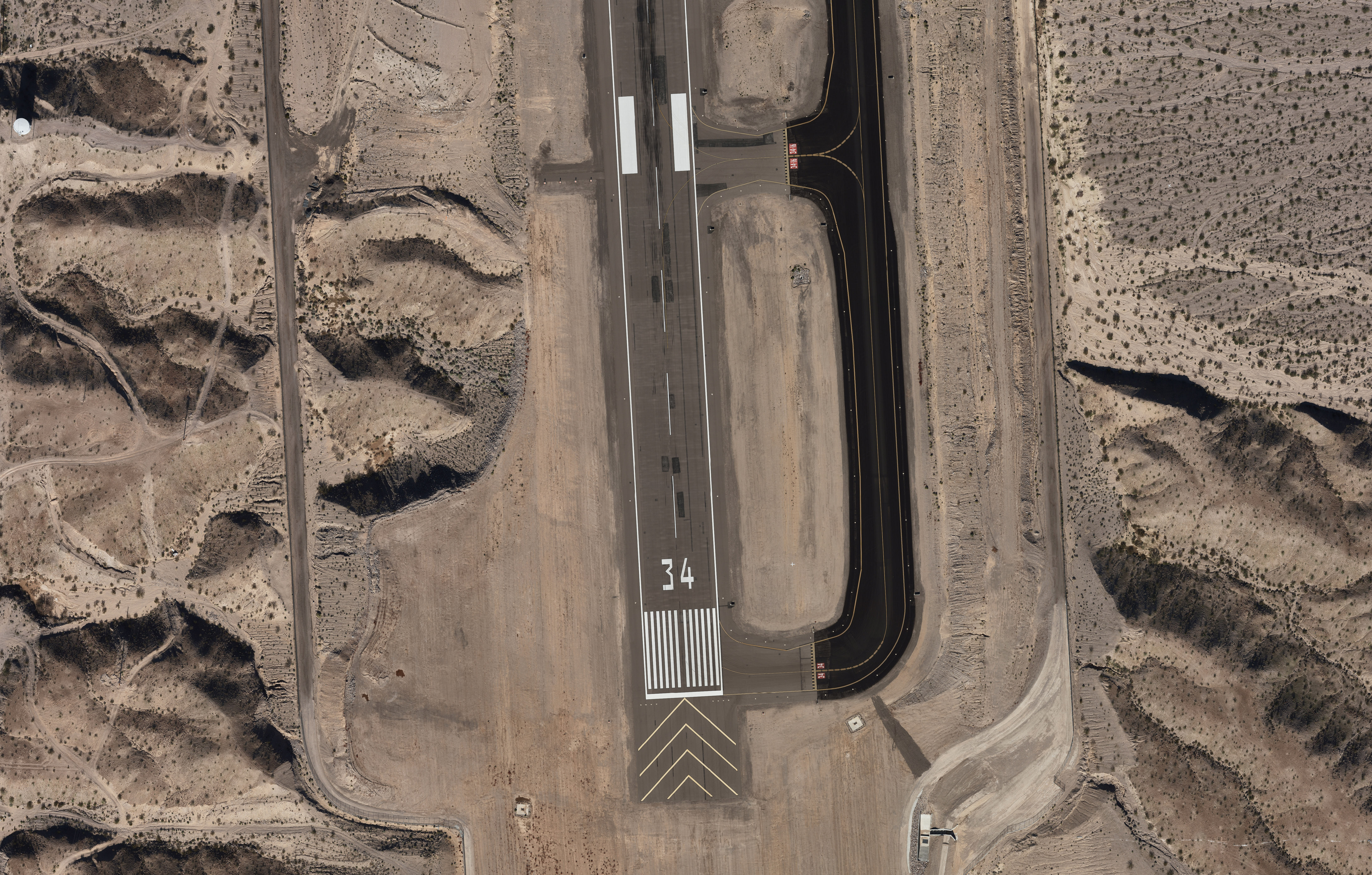
Cooper Aerial was contracted to produce a 20 scale .5’ contour interval map to include planimetrics, an XML surface file, and color ortho imagery. Cooper Aerial coordinated with the client, the airport management, and the FAA for the ground control survey and the aerial flight for airspace clearance and escorted access to the airport.
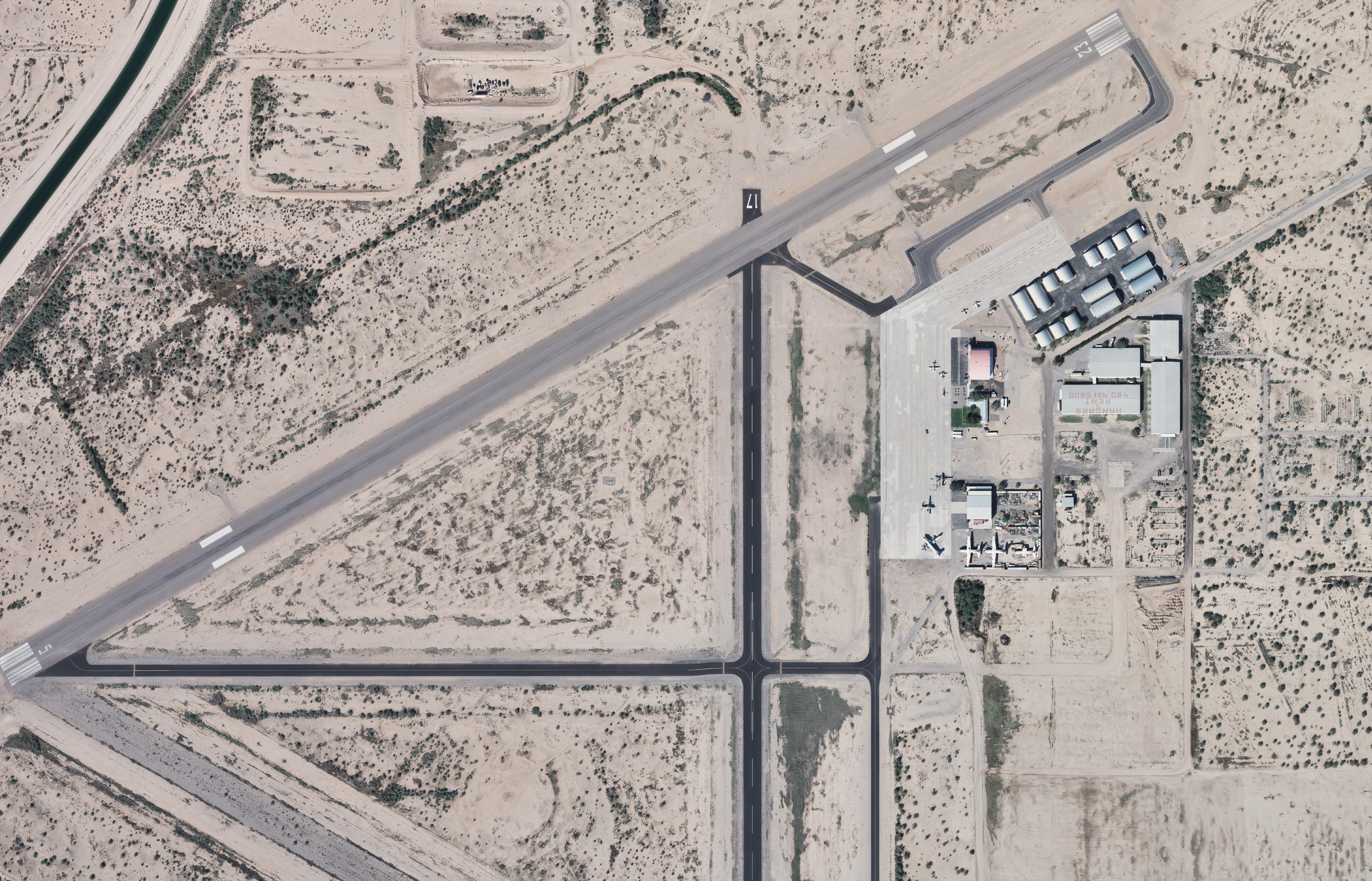
Pinal County Airpark
Marana, AZ
Cooper was contracted to provide 1”=20’ scale mapping with 1’ contours with DTM, planimetrics, XML surface file, and color ortho imagery. Cooper coordinated directly with airport management and the FAA to secure airspace clearance for the aerial flight.