ENERGY
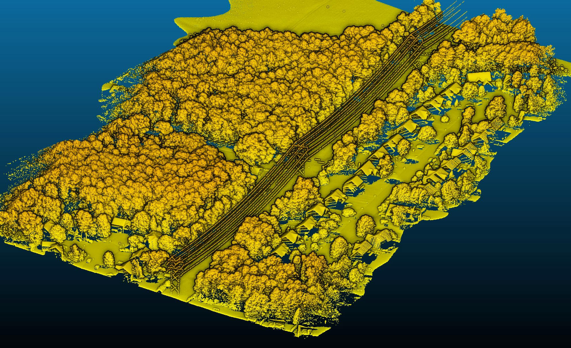
Western Marion Transmission Line
Marion, IN
Cooper Aerial was hired to provide PLS-CADD delivery for a 10-mile powerline study. The project was flown with LiDAR at 75 PPSM; vertical and oblique imagery was collected simultaneously using manned aircraft. Thermal conditions were collected during flight to be used for the PLSCADD modeling and all LiDAR processing was done using the most current LiDAR software according to the clients FCL. The data provided an overall baseline of the existing conditions of project powerline infrastructure.
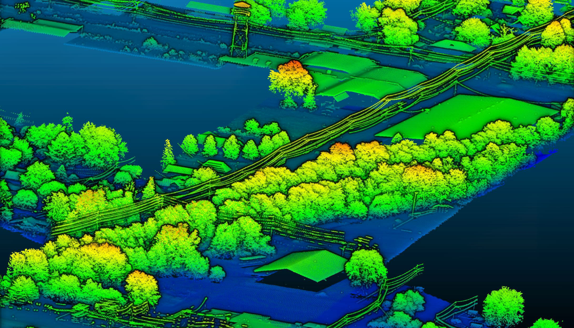
Burns & McDonell Rock Tavern to Sugar Loaf Transmission Line
Sugarloaf, NY
Cooper Aerial was contracted by Maser Consulting to provide mapping for the RTS electric transmission upgrade project. Cooper Aerial collected 5cm GSD Color Imagery and 40 PPSM LiDAR over the client defined mapping limits. Vertical and oblique imagery was collected simultaneously with a duel collect system. A second video flight was conducted for line inspection and point cloud data was processed to compile a 1" = 40" map according to the customer FCL. The LiDAR was used for full 3D rendering of the area and classified to Bare Earth for processing of the 1' contours.
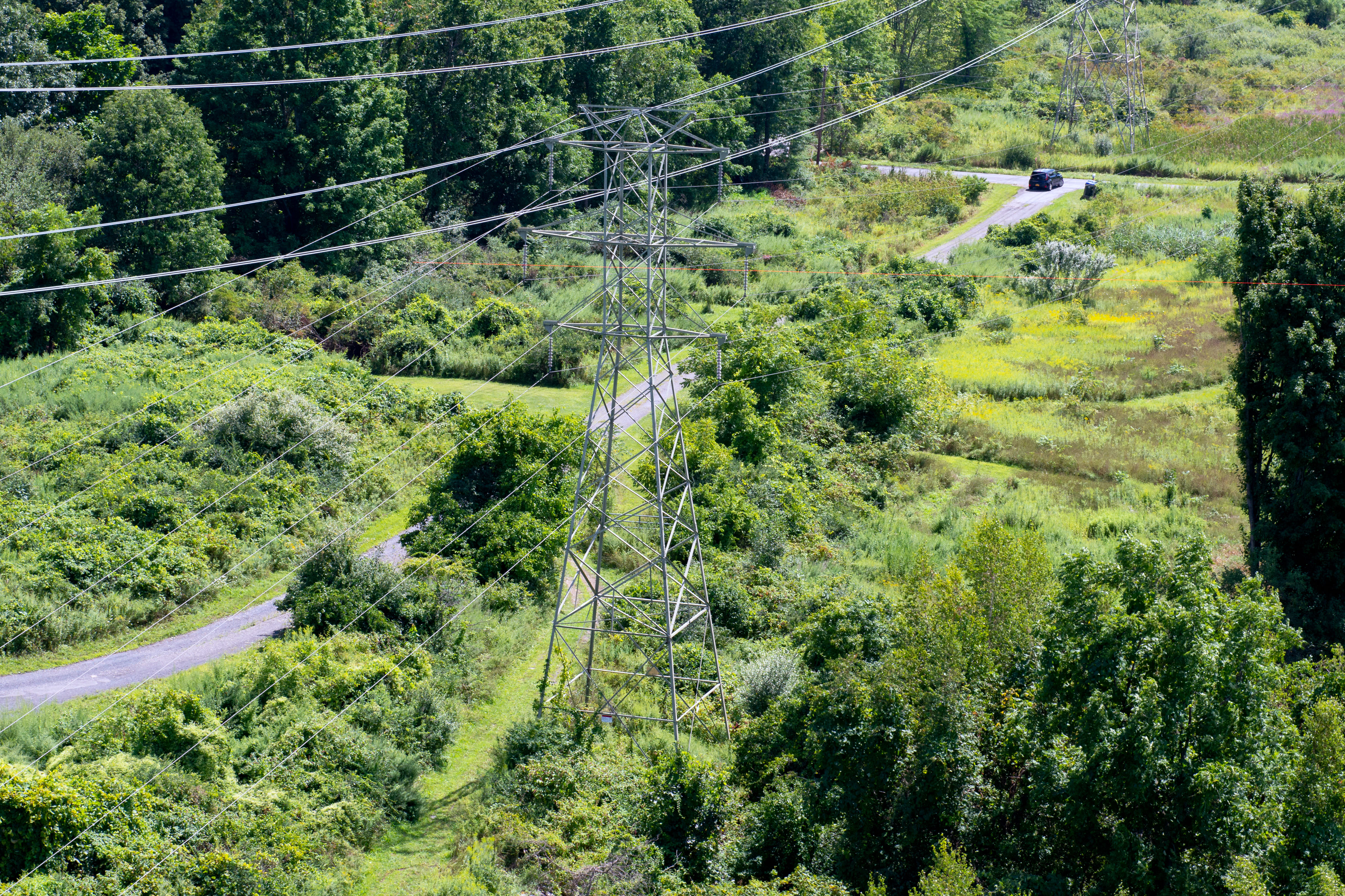
Old Dominion Transmission Line
Virginia
Cooper Aerial was contracted to classify ground features and power line structures for approximately 60 linear miles of transmission line. Upon receiving lidar files, prelim files, and DGN files, Cooper Aerial set up individual PRJ files for each object, or section of utility wires and substations. From there, macros were run on the LiDAR files to separate the points by height. Once completely classified, the team produced points of attachment on each tower/pole structure in the corridor, which were placed in 3D. Deliverables included classified LAS files and DGN files with points of attachments. All files were prepared to be used for PLS-CADD.