FACILITIES MAINTENANCE
ASU West Campus
Glendale, AZ
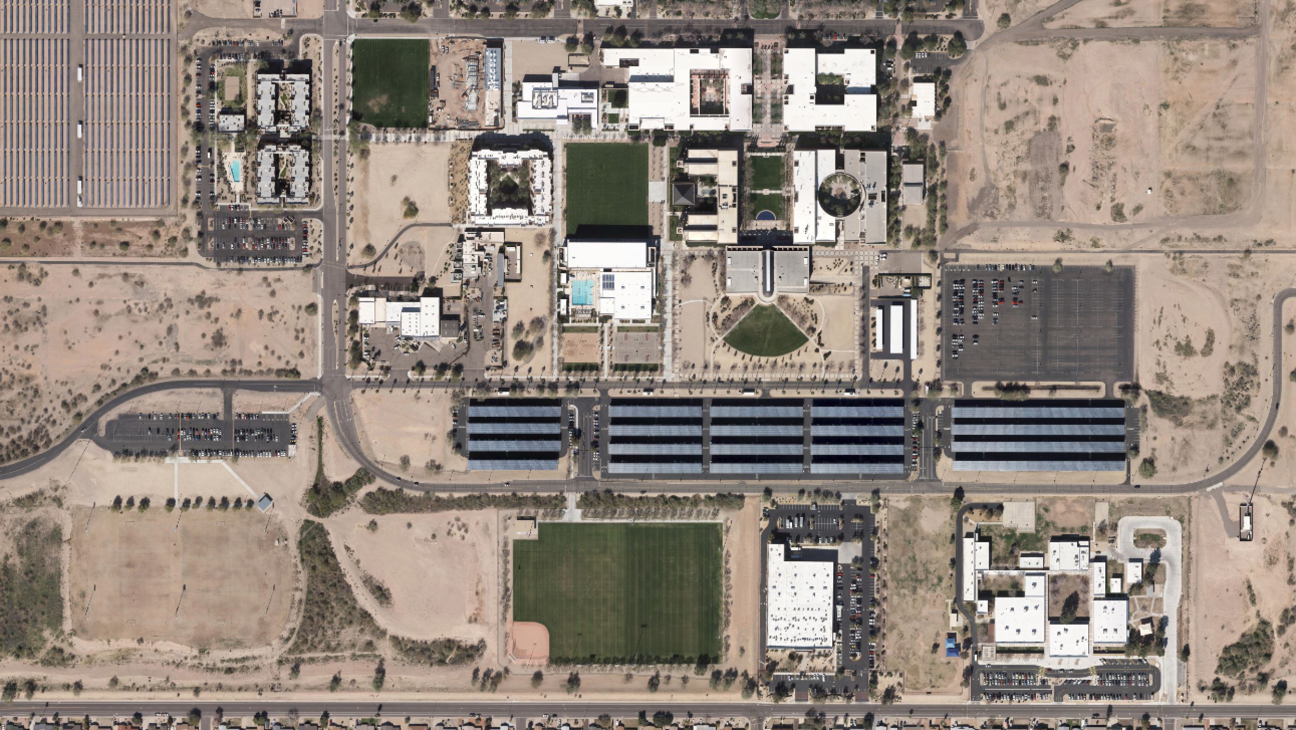
Arizona State University and Burgess and Niple contracted Cooper Aerial to provide aerial mapping for the purpose of updating the west campus 2007 Sewer Drain Master Plan. Deliverables included 2.5cm GSD color aerial photography, airborne LiDAR at 45 PPSM, ground control and conventional survey services.
Bonita Vista High School
Chula Vista, CA
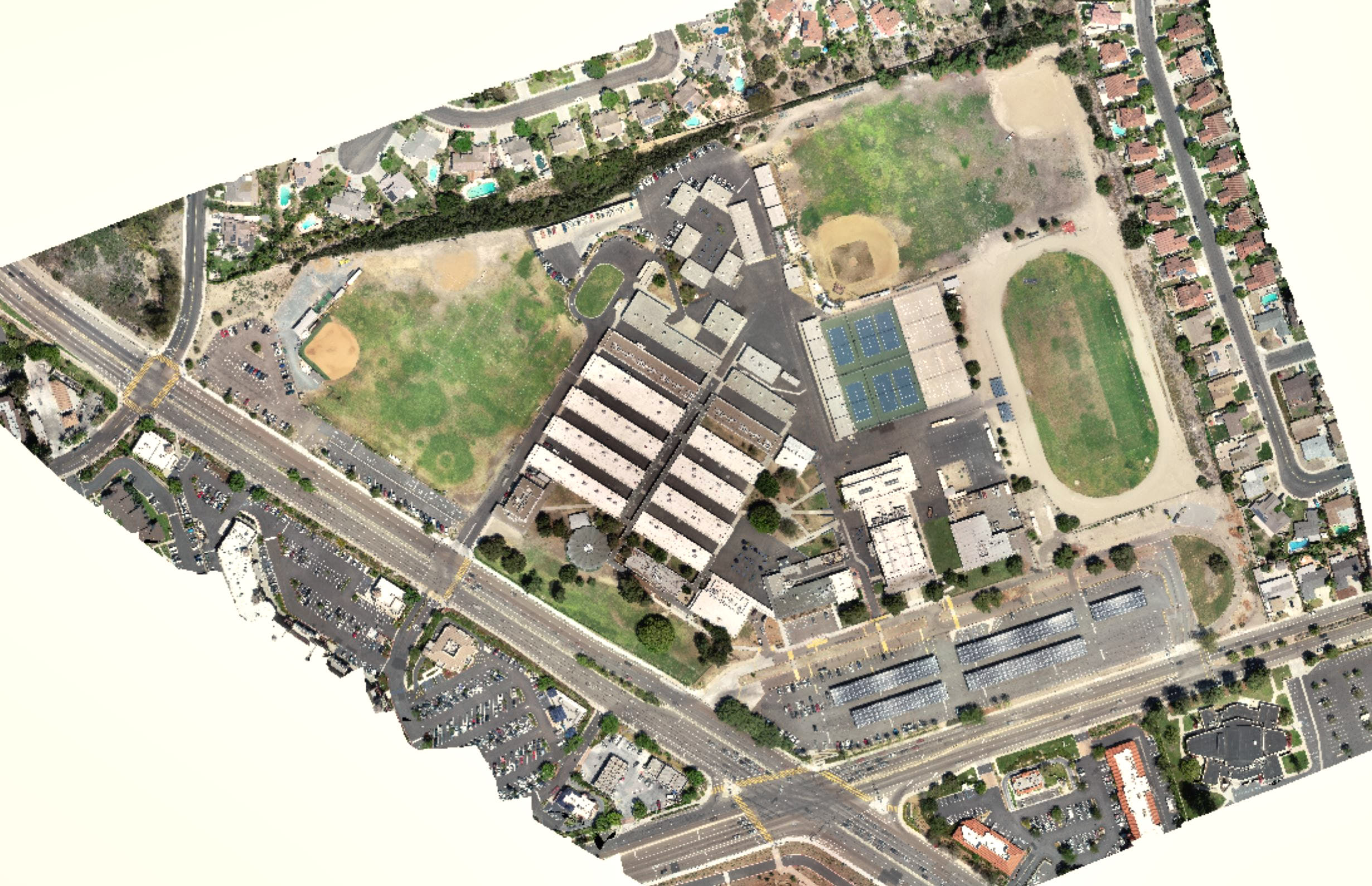
Cooper Aerial was contracted by BWE to aerial map the Bonita Vista High School. Cooper Aerial collected 3.5cm GSD color imagery over the client defined mapping limits. The mapping data was used to compile a 1" = 20" map in stereo to create all planimetric features and 3D DTM for 1ft contour generation. The projects purpose was to provide up-to-date base mapping for future building and development of the site.
Punxsutawney School District
Punxsutawney, PA
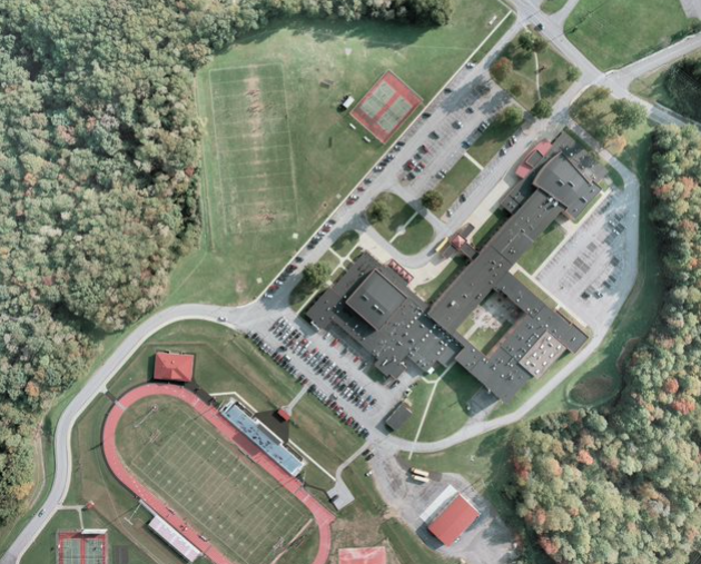
Cooper Aerial was contracted by HF Lenz to aerial map the Punxsutawney School. Cooper Aerial collected 1:2400 color film over the client defined mapping limits. The aerial photography consisted of two flight lines with 20 exposures, with a total of six mapping models. The mapping data was used to compile a 1" = 30" map in stereo to create all planimetric features and 3D DTM for 1ft contour generation.