FLOOD ANALYSIS
Gilbert Heritage District
Gilbert, AZ
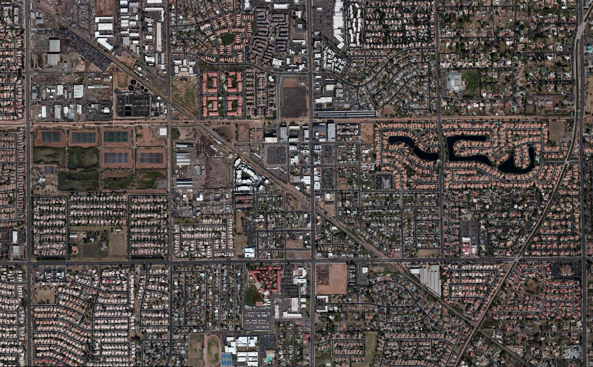
Cooper Aerial was contracted by the City of Gilbert to provide GIS mapping for a flood study to identify impervious surfaces within the Heritage District. 4cm GSD imagery was flown for the collection of 1’ contour data as well as 30 scale mapping of features, such as paved roads, walls, buildings, dirt roads, parking lots, etc. All features were mapped as closed polygons which was essential for a solid ARC GIS output use by the City.
Oceanport Beach Drainage Study
Oceanport Beach, NJ
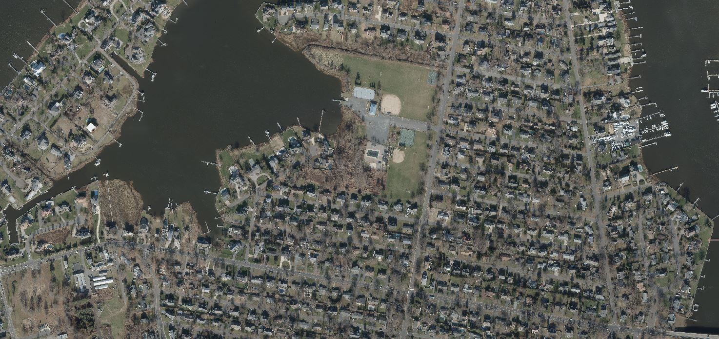
Cooper Aerial provided 1”=20’ mapping with .5’ contour interval, specific drainage planimetrics between road edge to road edge, and DTM for the 1.6 sq. miles of coastline which surrounds the Oceanport to support a drainage study for the entire borough to deal with tidal river flow flooding. Deliverables included 3D data in a custom translated output and ARC GIS Geodatabase from plan and DTM. The project required a GIS / drainage approach which updated the city’s old data and allow the High resolution DTM and .XML Surface to be examined and modeled in HEC-RAS Hydrologic Engineering software.
Mohave County Flood Study
Mohave County, AZ
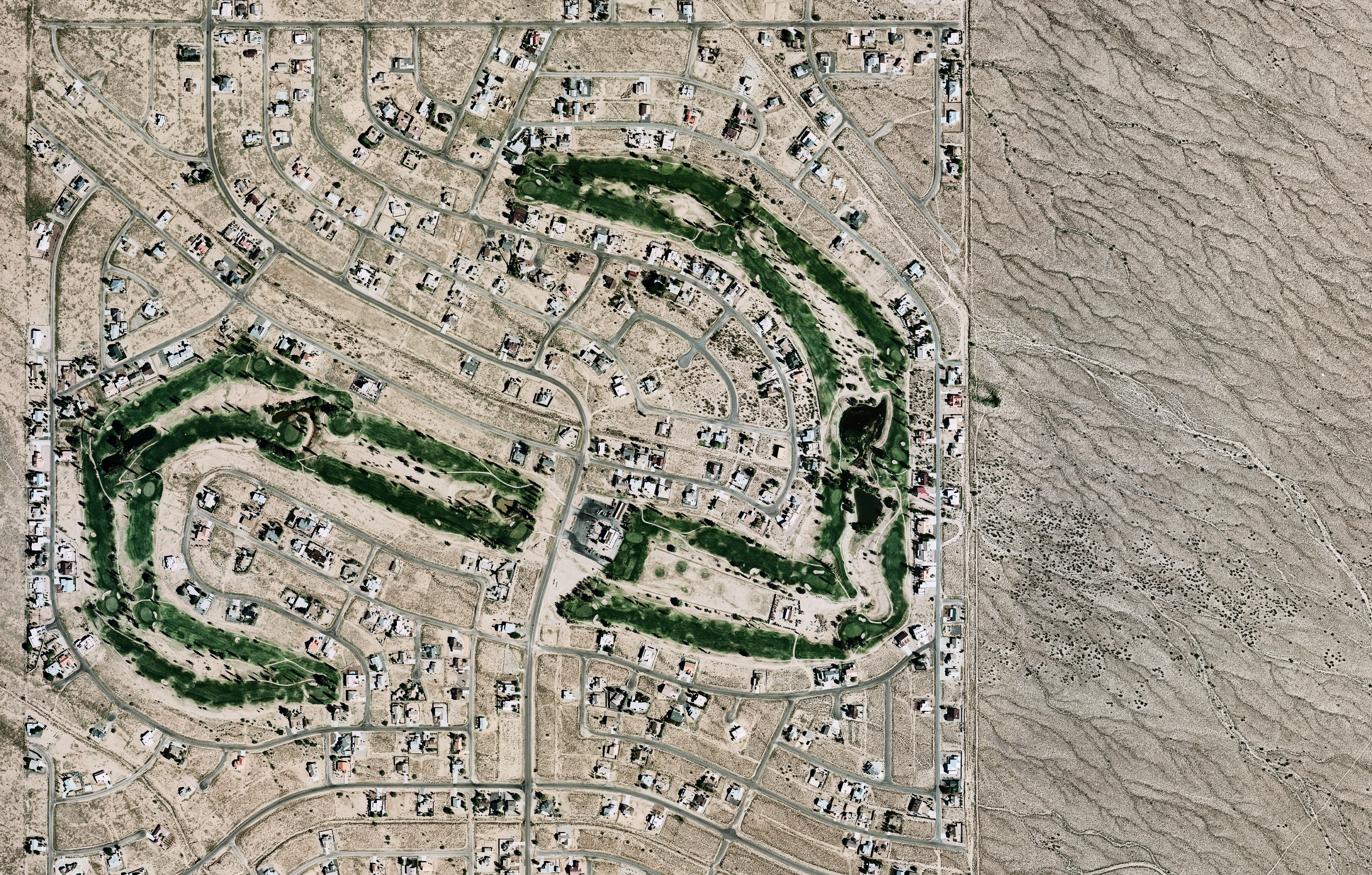
Cooper Aerial was contracted by the Mohave County to provide mapping for a large-scale LIDAR flood study of roughly 90,000 acres. Cooper Aerial collected 8cm GSD color Imagery and five PPSM LiDAR over the client defined mapping limits. The mapping data was used to compile a 1" = 100" map in stereo to create all planimetric features and 3D DTM for 2' contour generation. The LiDAR was used for full 3D rendering of the area and classified to Bare Earth for processing of the 2' contours.