MINING
Emery Mine
Central Utah

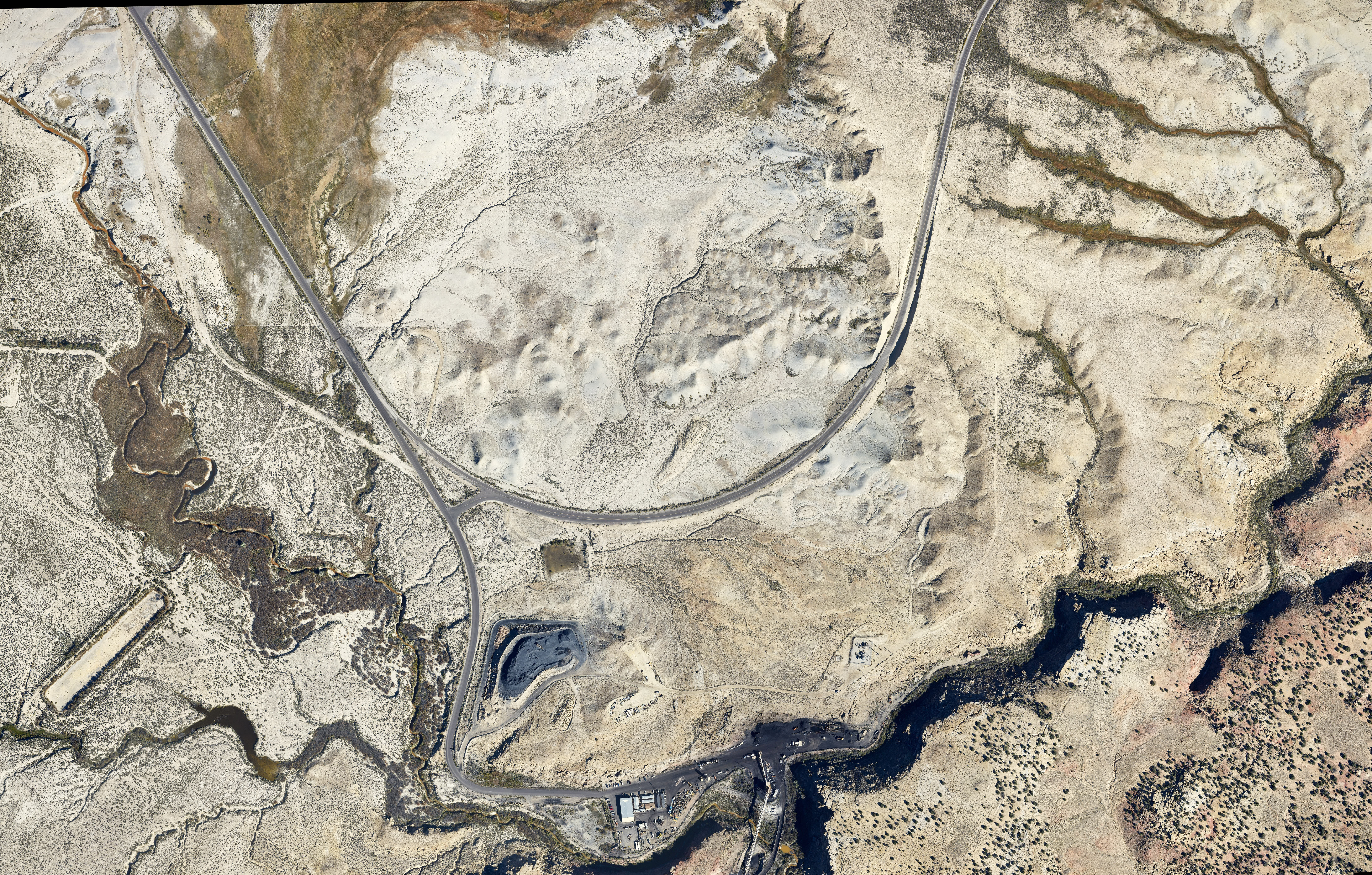
Cooper Aerial was tasked to produce a DTM and 100 scale mapping with 2’ contours and planimetrics for an approximately 800-acre mine site. LiDAR was collected using an airborne LiDAR system and then post processed into the project coordinate system. Cooper Aerial’s LiDAR production staff classified the data to ground for use in DTM generation. A supplemental 7.5cm image flight was done to collect breaklines and planimetrics; A 7.5cm GSD color orthophoto of the entire site was created for delivery.
West Plant Mine
Superior, AZ

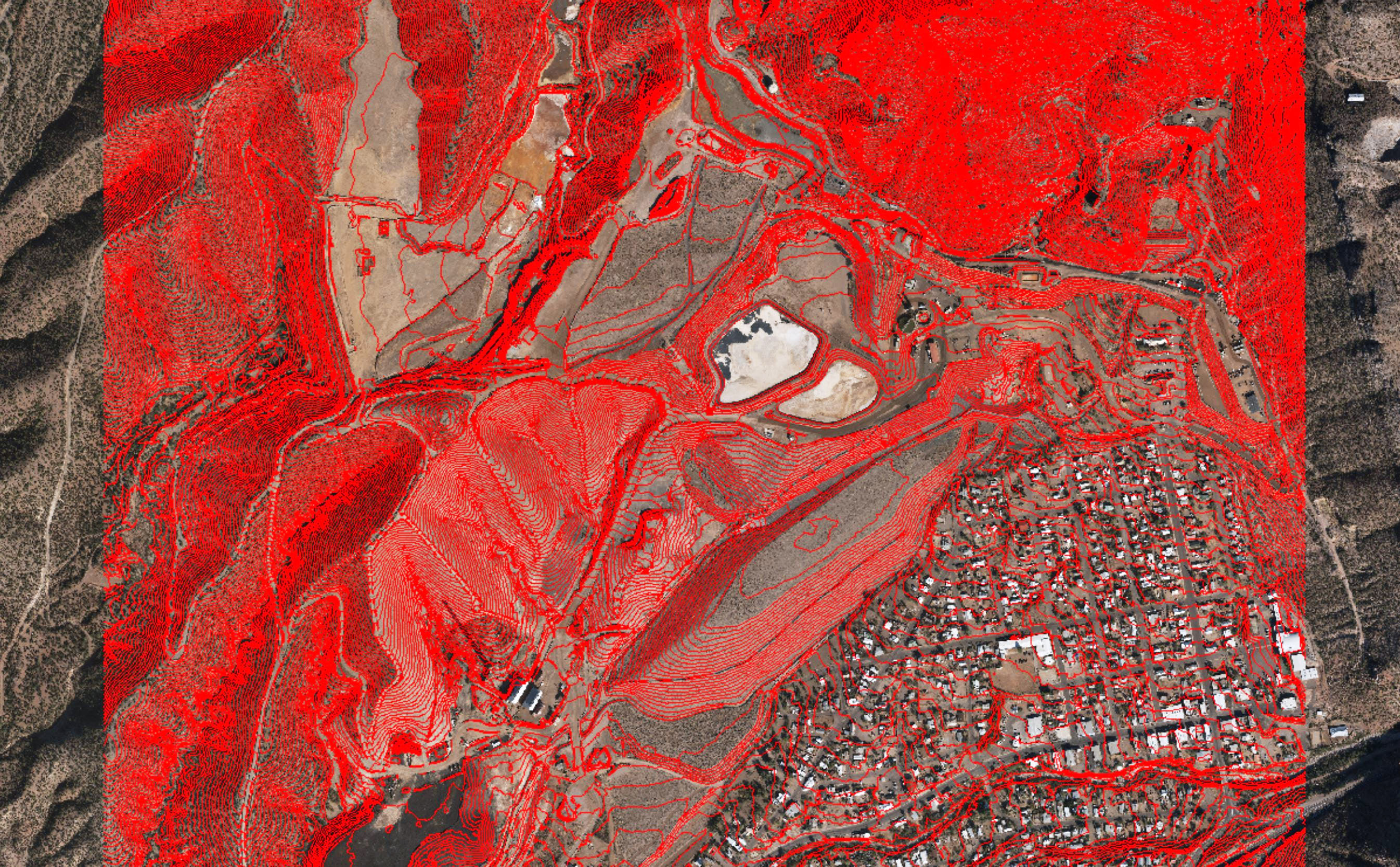
Cooper Aerial was contracted by Resolution Copper to aerial map the West Plant Mine site. To complete this project, Cooper Aerial collected 3.5cm GSD color imagery over the client defined mapping limits. The aerial photography consisted of nine flight lines with 131 exposures, with a total of 110 mapping models. In combination with aerial ground control set by Cooper Aerial, the mapping data was used to compile a 1" = 40" map in stereo to create all planimetric features and 3D DTM for 1' contour generation.
Hogback & Middlebury Mine
Middlebury, VT

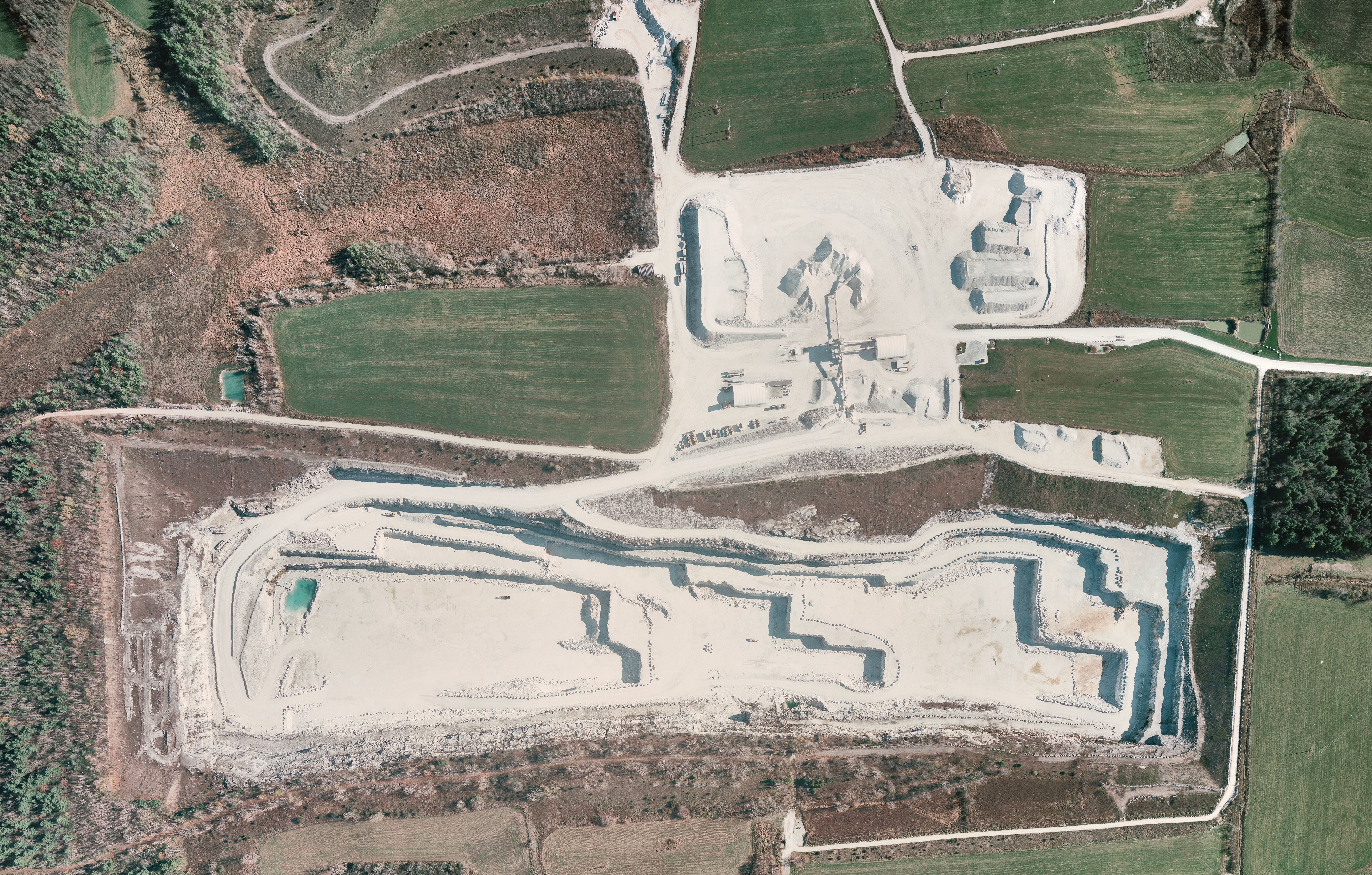
Cooper Aerial was contracted by OMYA Inc. to aerial map the Hogback and Middlebury Mine sites. Cooper Aerial collected 7.2cm GSD color imagery over the client defined mapping limits. The aerial photography consisted of two flight lines with eight exposures, with a total of six mapping models. In combination with aerial ground control set by Omya, the mapping data was used to compile a 1" = 100" map in stereo to create all planimetric features and 3D DTM for 2' contour generation.