MUNICIPAL & GOVERNMENT
Bethlehem Township
Bethlehem, PA
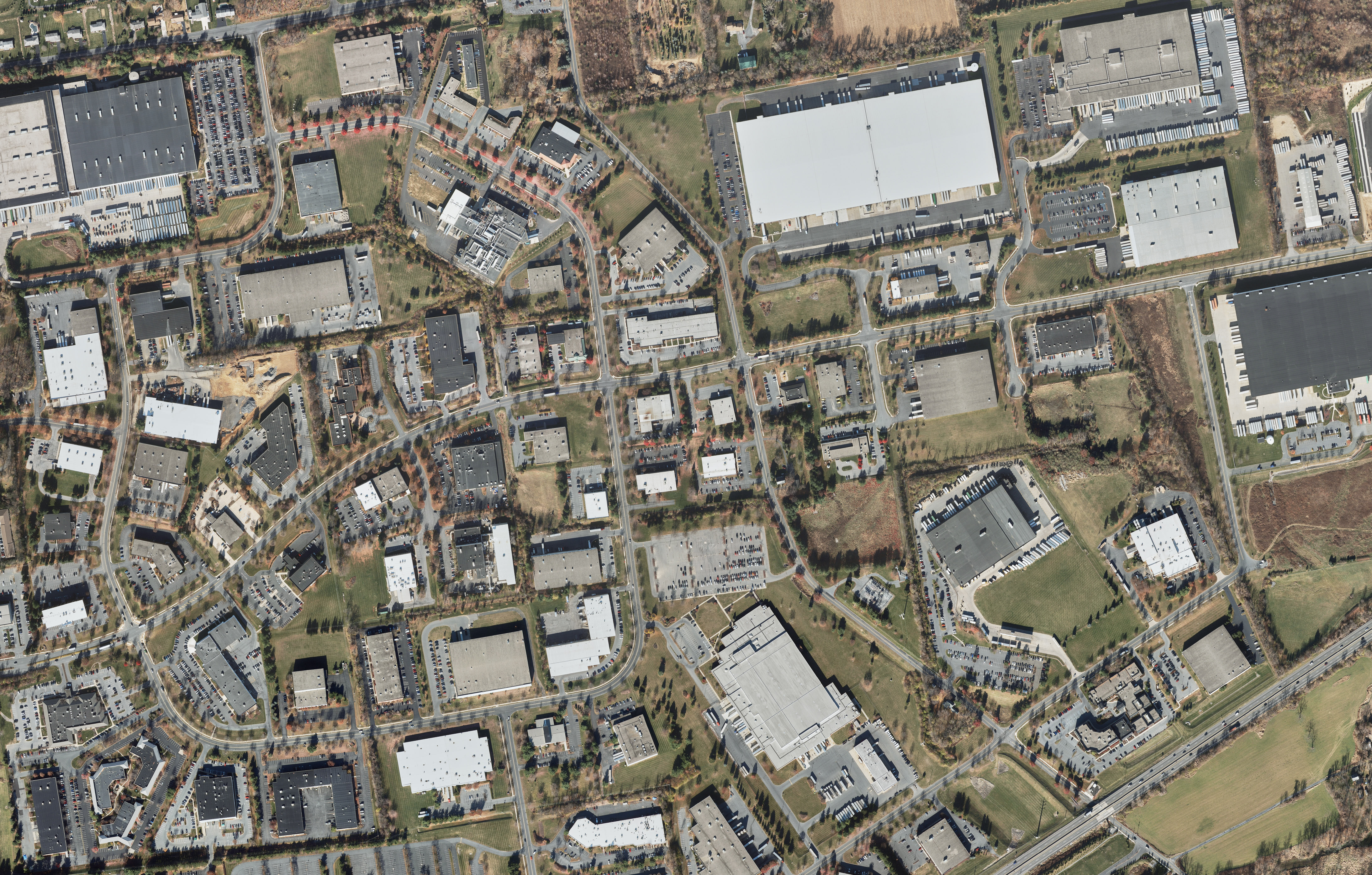
Cooper was contracted by Bethlehem Township to produce full DTM and 40 scale planimetric mapping with 1’ contours of approximately 17.5 square miles. LiDAR data was collected using an airborne LiDAR system and then post processed into the correct project coordinate system. The LiDAR was meticulously classified to ground alleviating any vegetation or obstructions to be used in the DTM generation. This project has been utilized to provide 1’ mapping to various entities for separate projects throughout Bethlehem Township since the original acquisition.
Salt River Pima-Maricopa Indian Community
Maricopa County, AZ
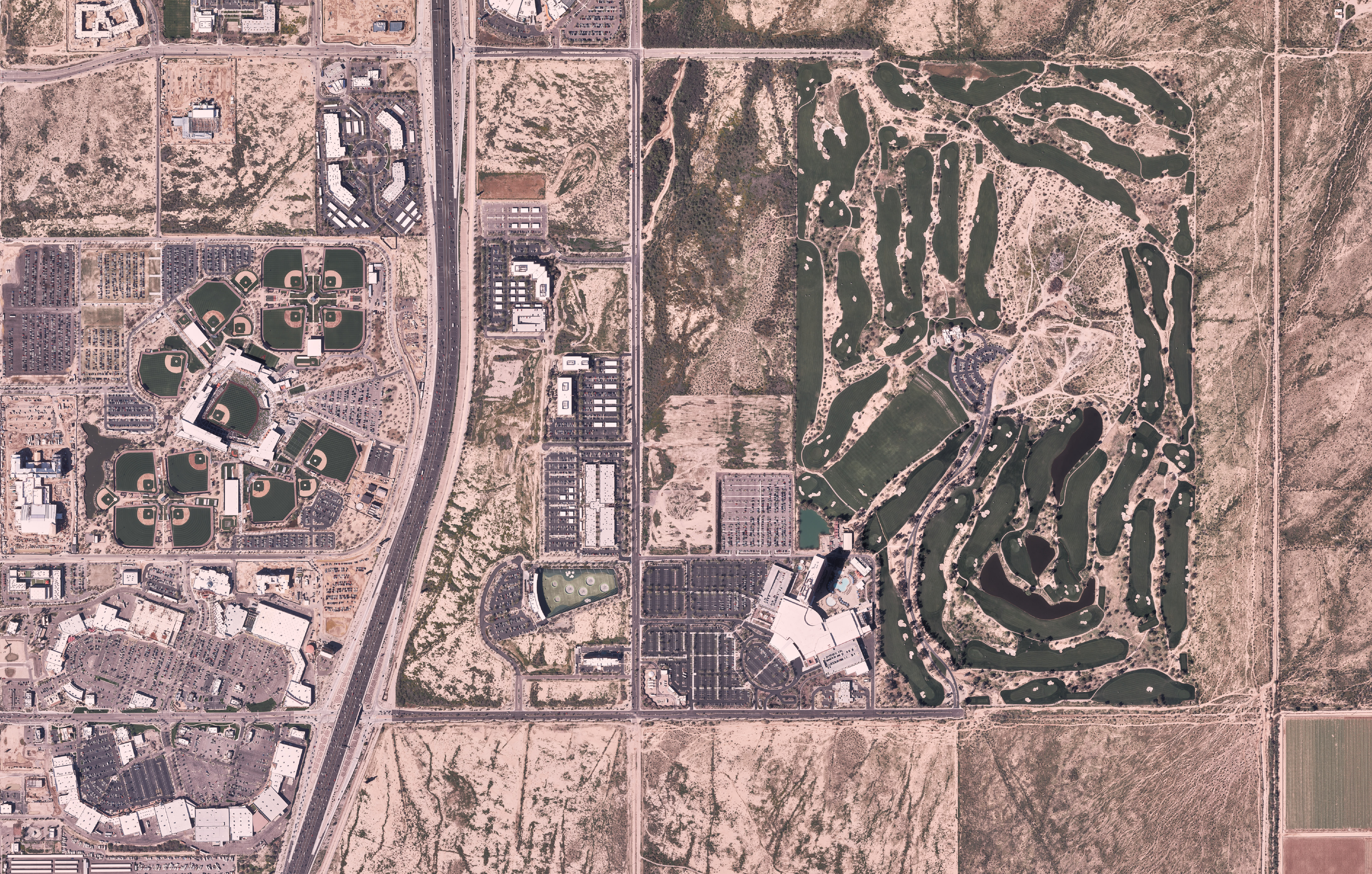
Cooper aerial was hired to provide 2’ contour mapping using LiDAR data for the SRPMIC community (approximately 42 square miles). True ground LiDAR points were determined, checked and edited for accuracy; a shaded model of the ground points was used to draw breaklines in Bentley Microstation. Deliverable included a LAS file with corrected lidar ground points, as well as a DWG file with drawn and draped breaklines. Cooper Aerial delivered 7cm ortho-photography for the entire area as well as 5’ Ascii Grid raster in ESRI format for use in Flo2D.
City of Show Low Imagery and GIS Project
Show Low, AZ
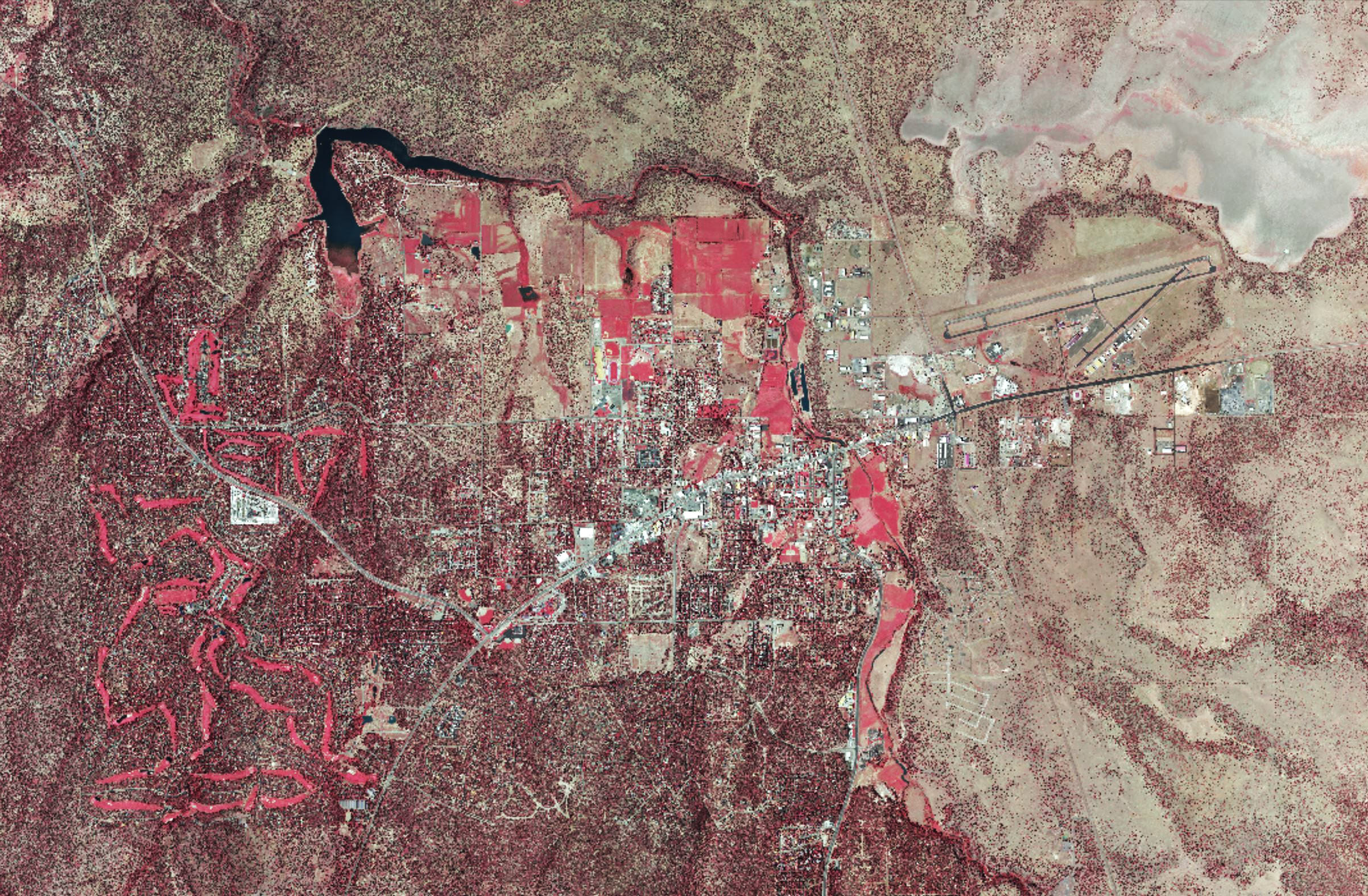
Cooper Aerial was contracted by City of Show Low, to aerial photograph the City of with 4-band imagery. Cooper Aerial collected 7.6cm GSD color RGB and infrared imagery. The aerial photography consisted of 27 flight lines with 2550 exposures. The project’s main purpose was to update the photography for the City and its GIS, police and parcel office requirements. Color enlargements were created for new county office wall murals.