RENEWABLE ENERGY
Tulare County Solar Farm
Tulare County, CA
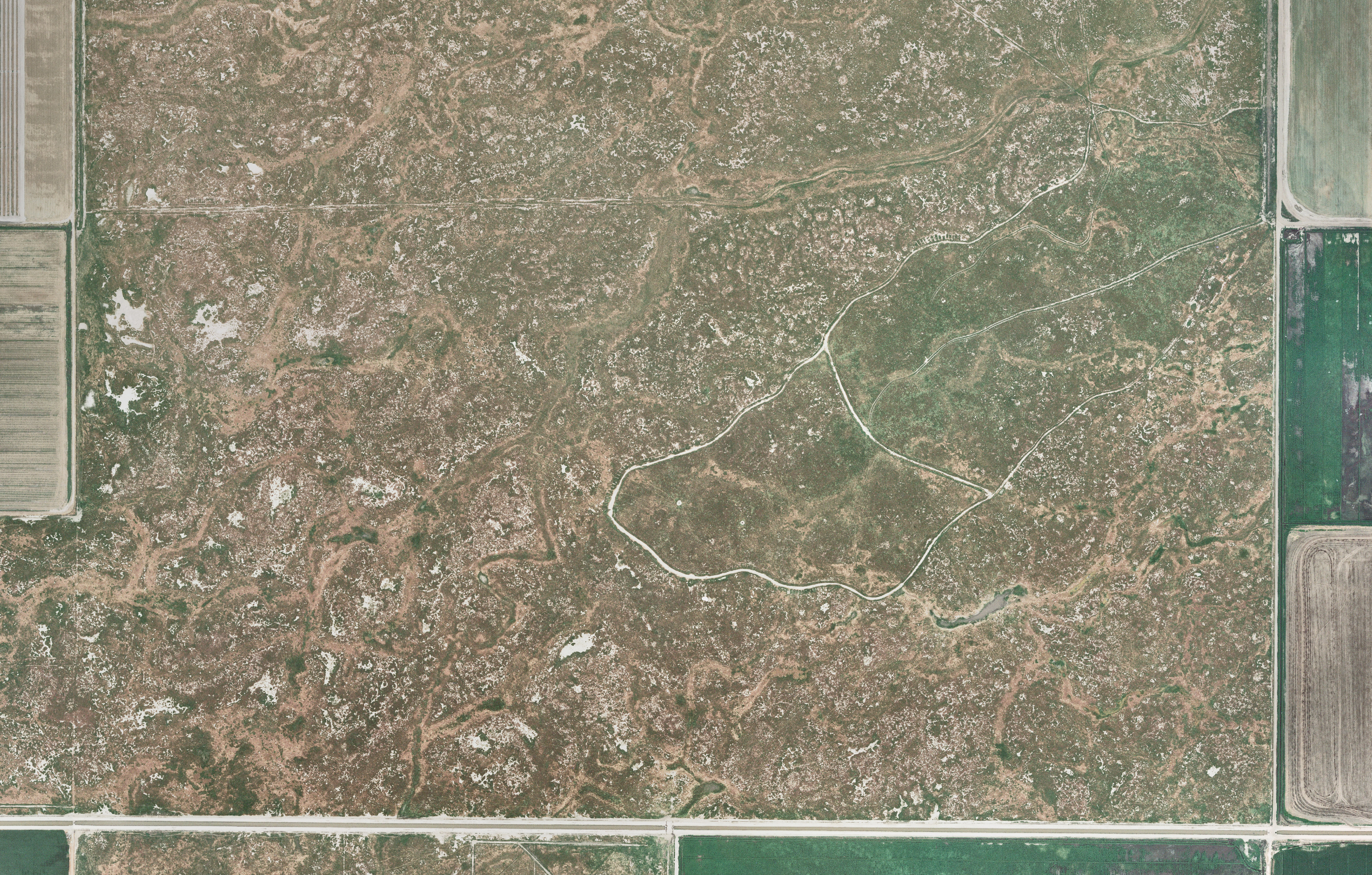
Tulare County contracted Cooper Aerial to provide a real mapping for the development of a large-scale solar production farm. The terrain was mostly farming and agricultural and covered more than 7,400 acres. Deliverables included 1”=200’ scale planimetric data along with 0.328’ GSD ortho-rectified photography.
Flint River Solar Farm
Bainbridge, GA
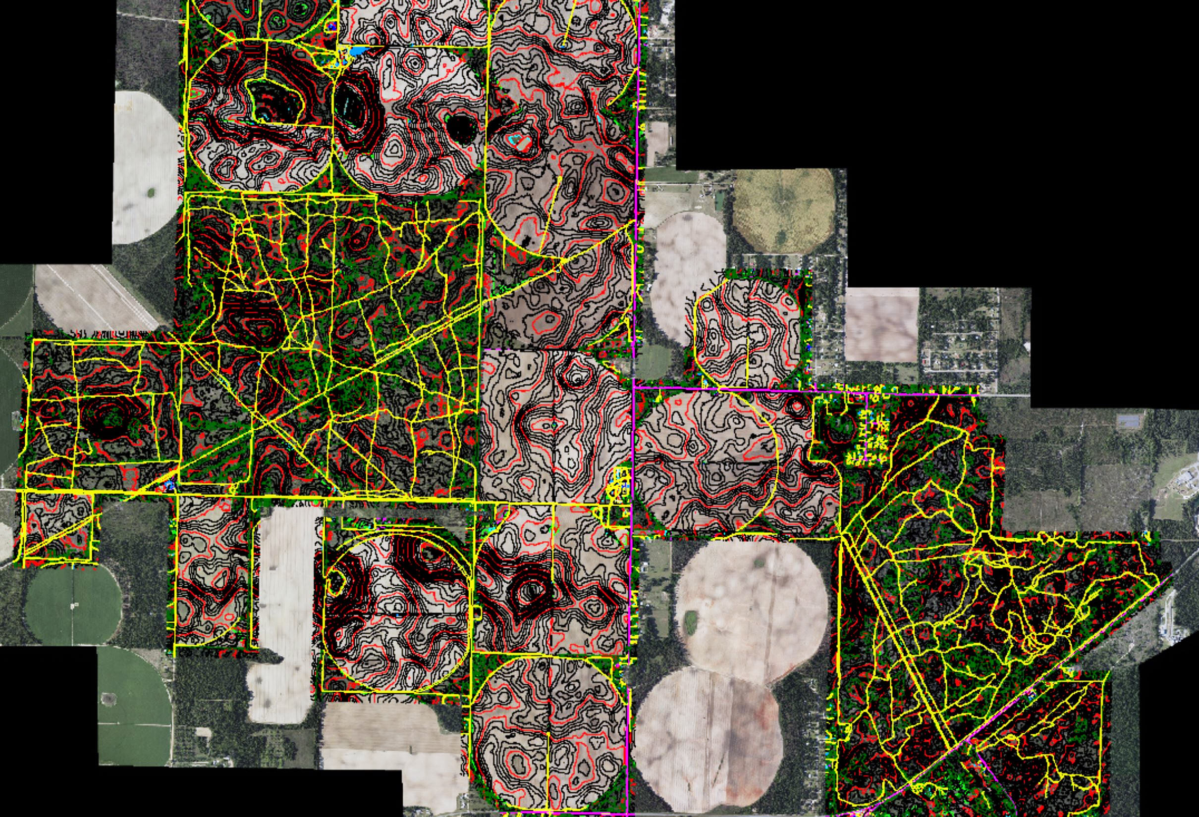
Cooper Aerial was contracted to provide aerial mapping for the future development of a large-scale solar production farm. The project was flown with 7.2cm GSD imagery and 18 PPSM. All planimetric mapping was compiled in 3D using the aerial photography and surface data was derived from the LiDAR collection.
Cedar Creek / Goshen Wind Farm
Goshen, ID
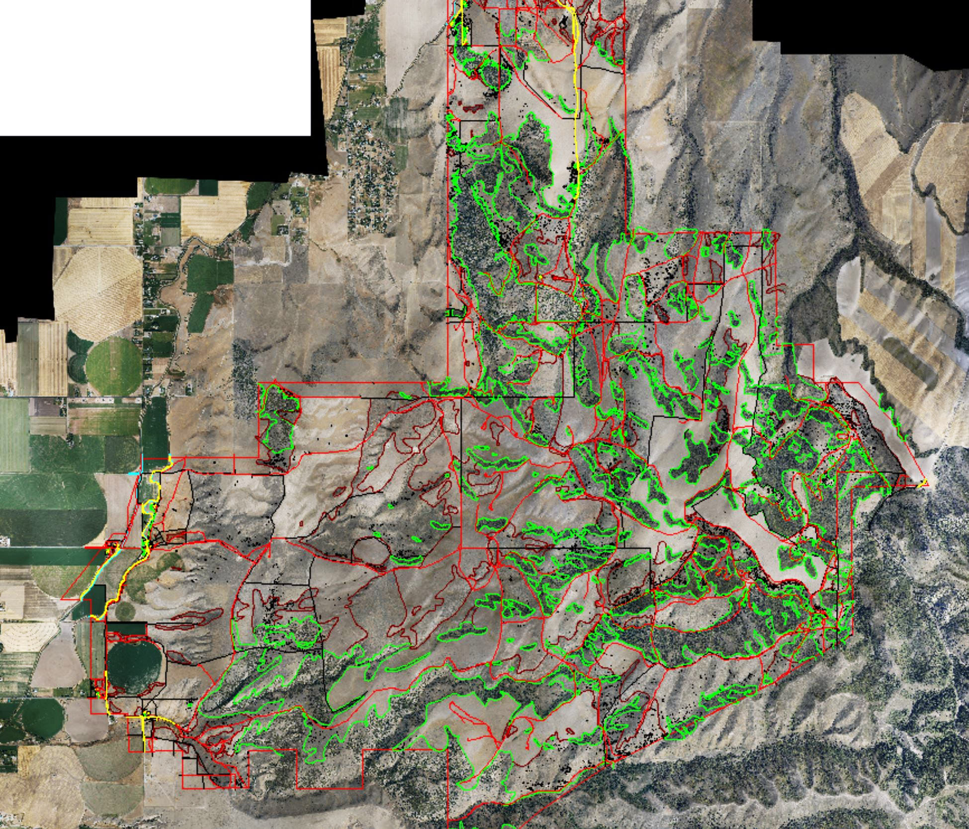
Cooper Aerial was contracted by Rm Meridian to provide 2’ mapping and 100 scale planimetric mapping of 23,750 acres. 10 PPSM aerial LiDAR data was captured for the surface to generate 2’ contours in very rugged terrain. 100 Scale planimetric features were classified from the LiDAR data in 3D and verified using the 7.2cm GSD ortho-rectified photography that was created from the imagery flight.