TRANSPORTATION
H8045 SR 189
Nogales, AZ
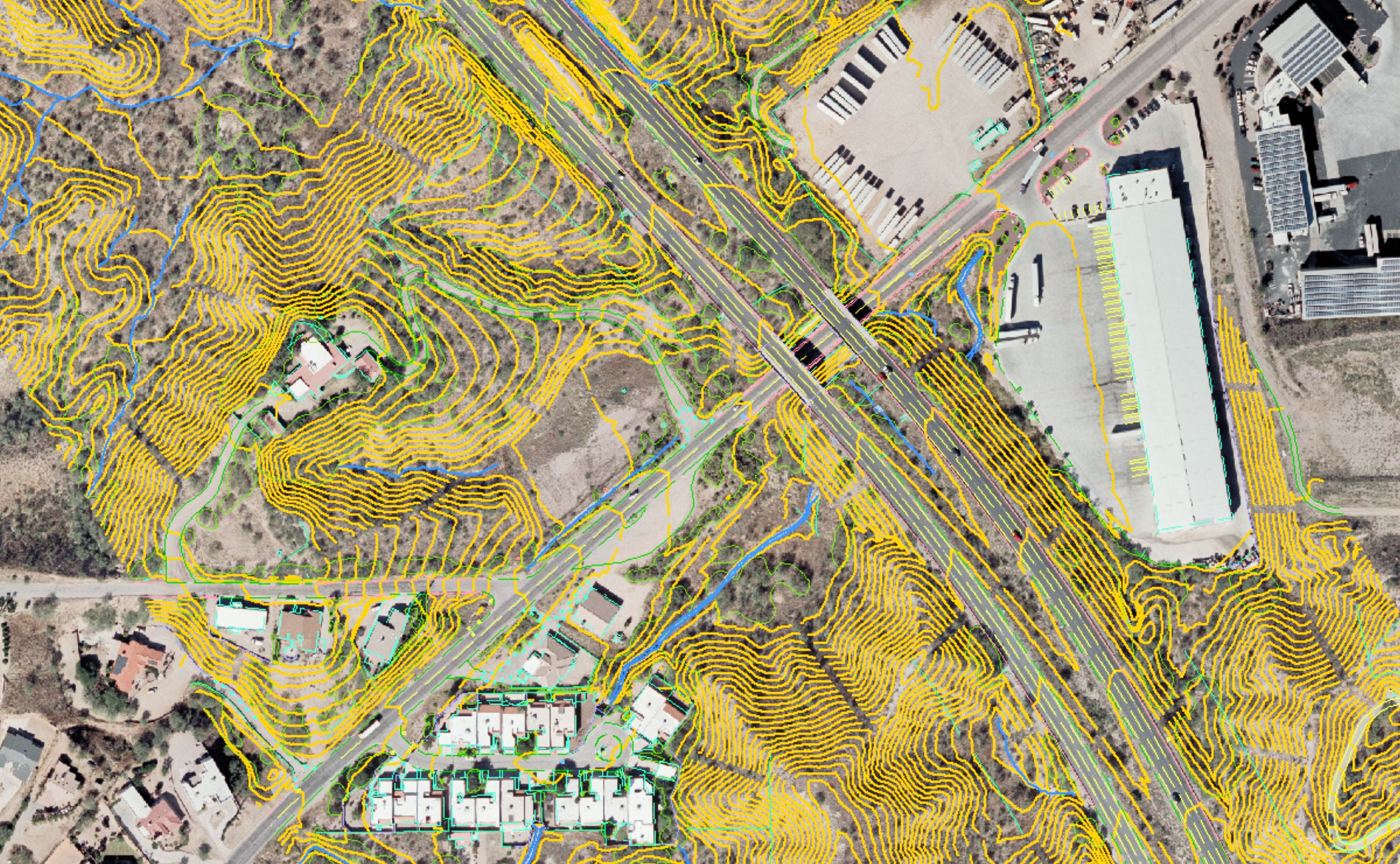
Cooper Aerial was hired by the Arizona Department of Transportation to fly and map a large portion of the US-Mexico Border wall and SR 189 in Southern Arizona, which runs from its junction with I-19 to the US-Mexico Border. The project was flown at 4cm GSD to acquire 30 scale mapping detail of the corridor. 1’ contours were created for delivery in Microstation format.
Greenway Road Expansion
Surprise, AZ
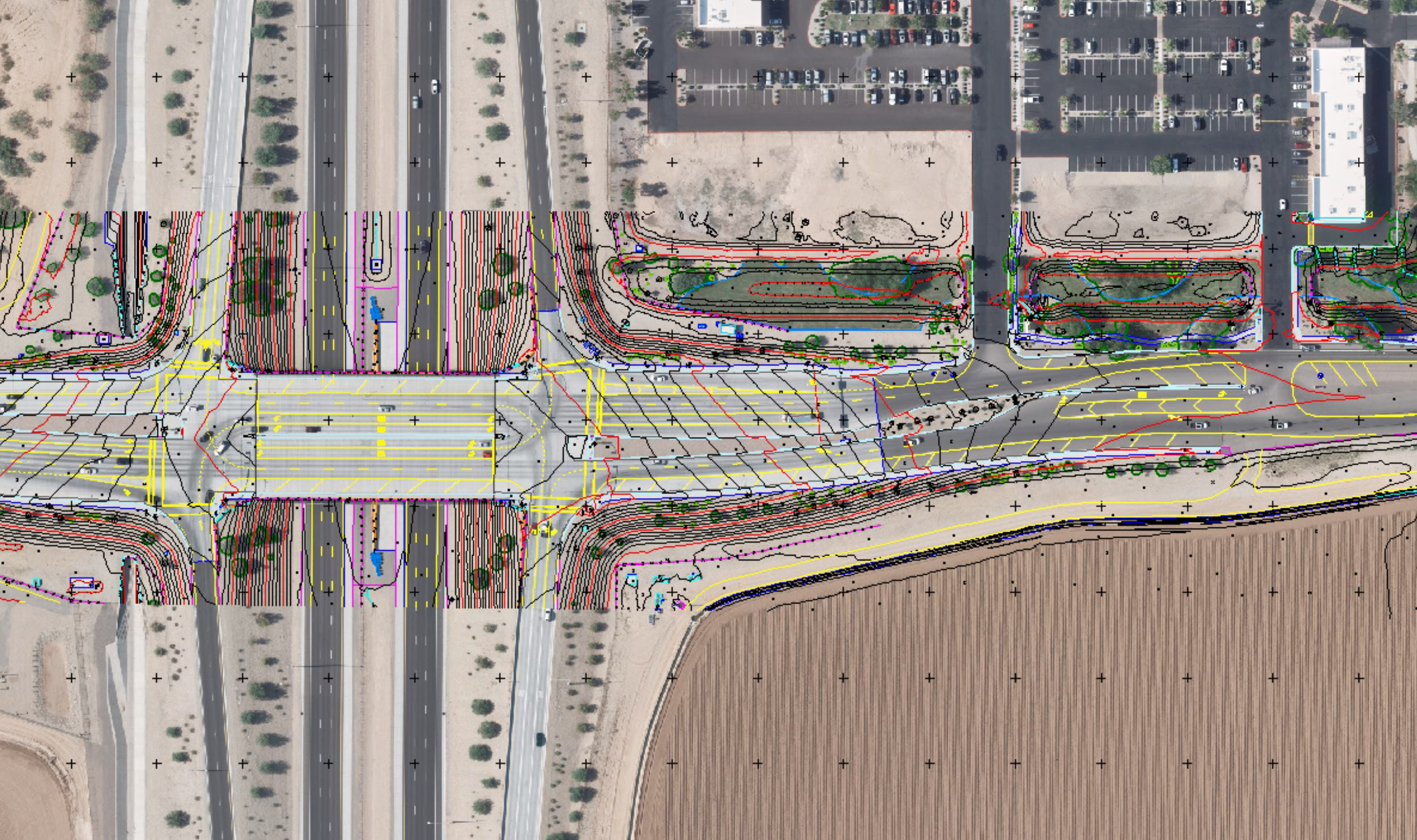
Cooper Aerial was hired to provide survey and mapping services for a two-mile portion of Greenway Road. The project required ground control, mapping, and survey of all features within the right-of-way. Aerial mapping was done to collect most of the features onsite. Supplemental features were collected on the ground utilizing conventional survey. The project was delivered to the client in AutoCAD and Microstation.
US 192 Kissimee Park Road
Kissimee, FL
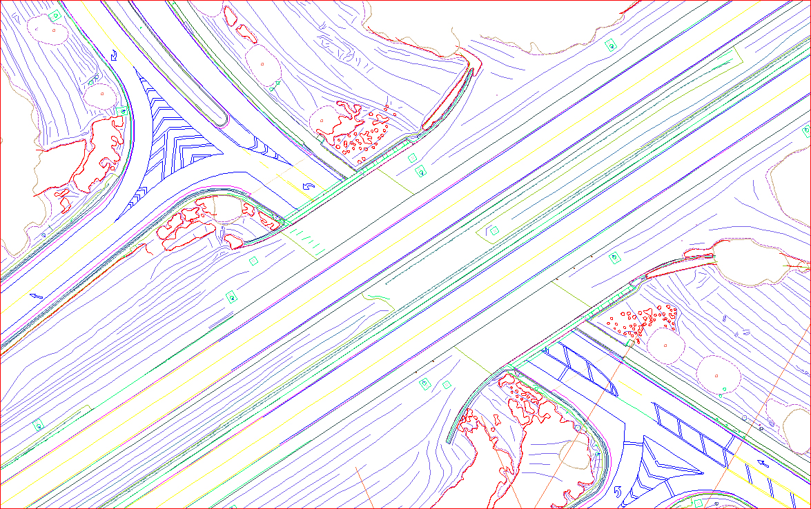
Cooper Aerial provided 1”=10’ LAMP mapping with DTM, contours and plan of approximately five linear miles of freeway in Central Florida. Collection included 3D data on the hardscape features and 2D data from right-of-way to right-of-way. All mapping was collected and delivered in Florida Department of Transportation layering and mapping standards for a 1”=10’ scale map.