CONTACT
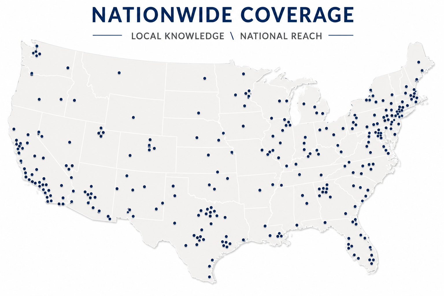
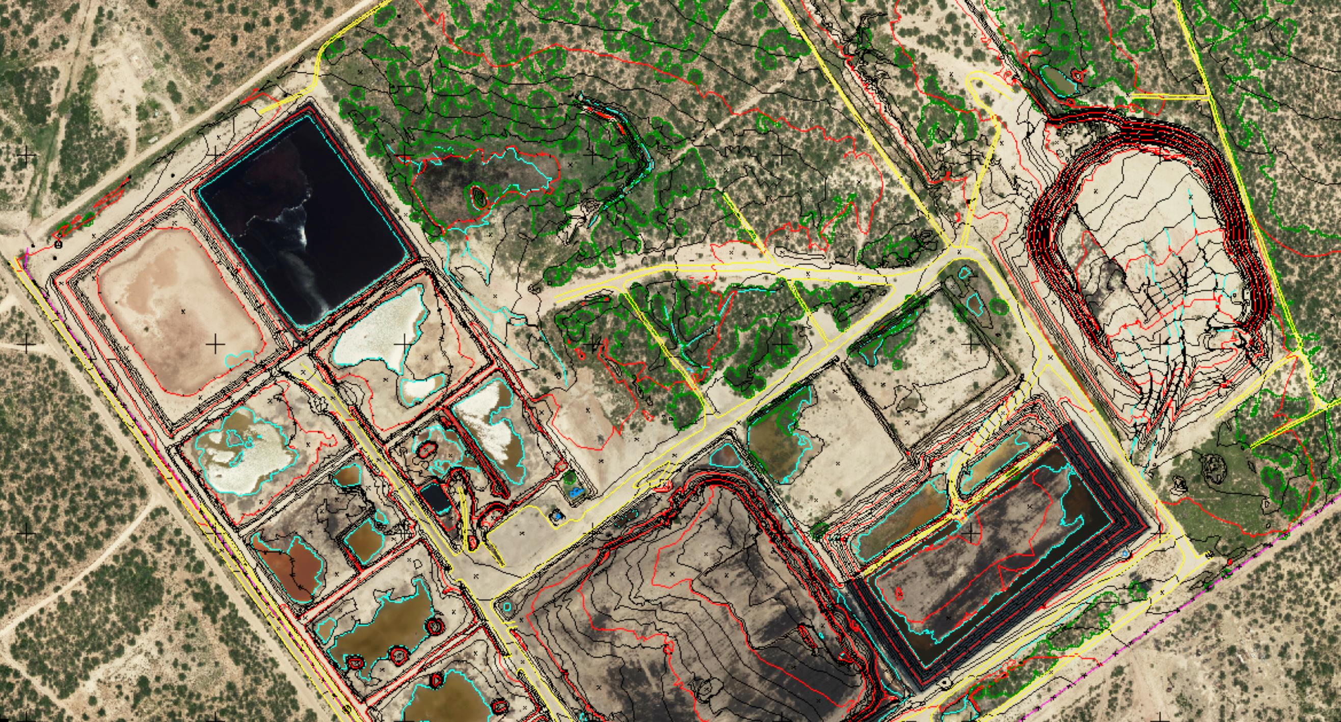
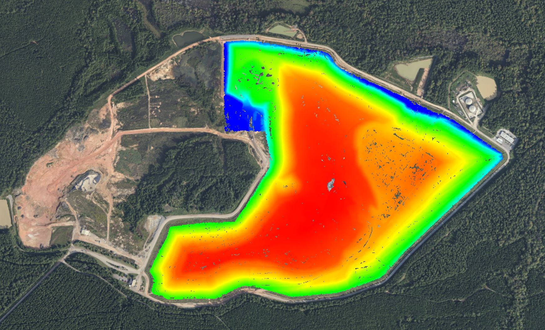
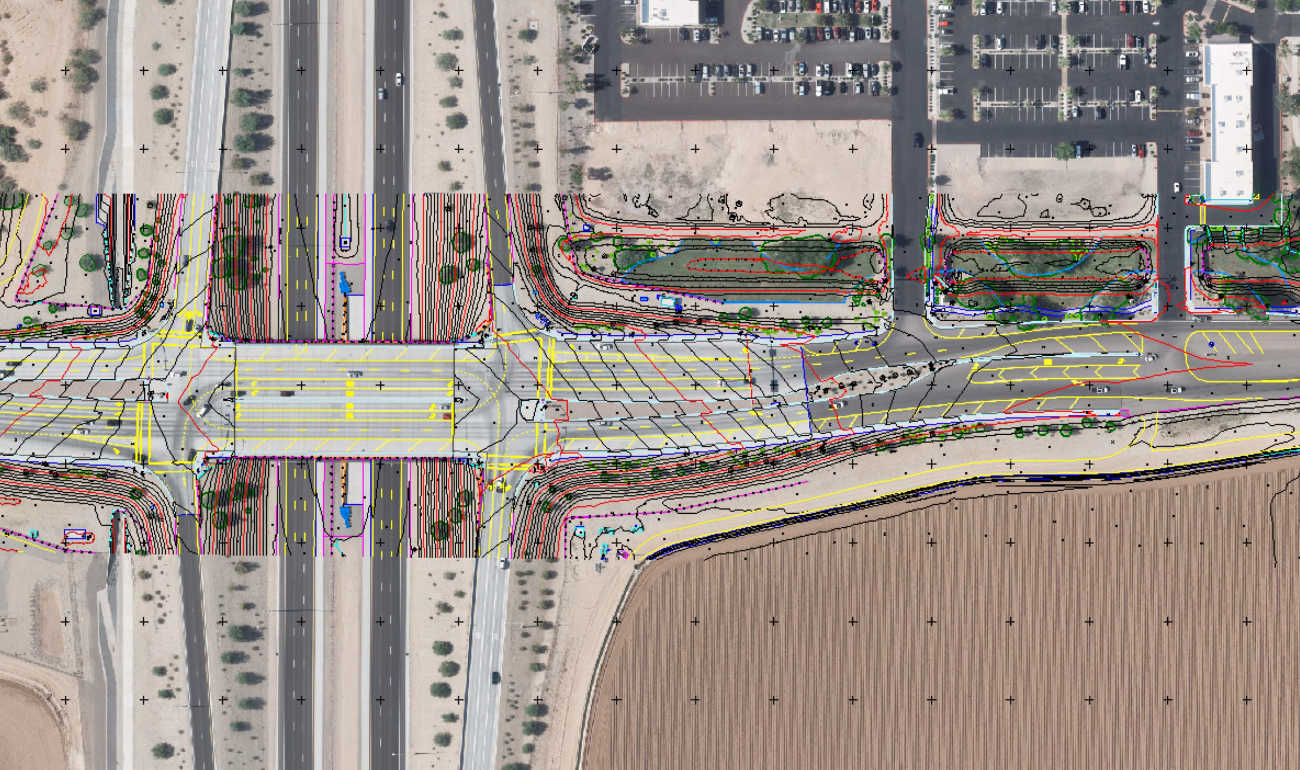
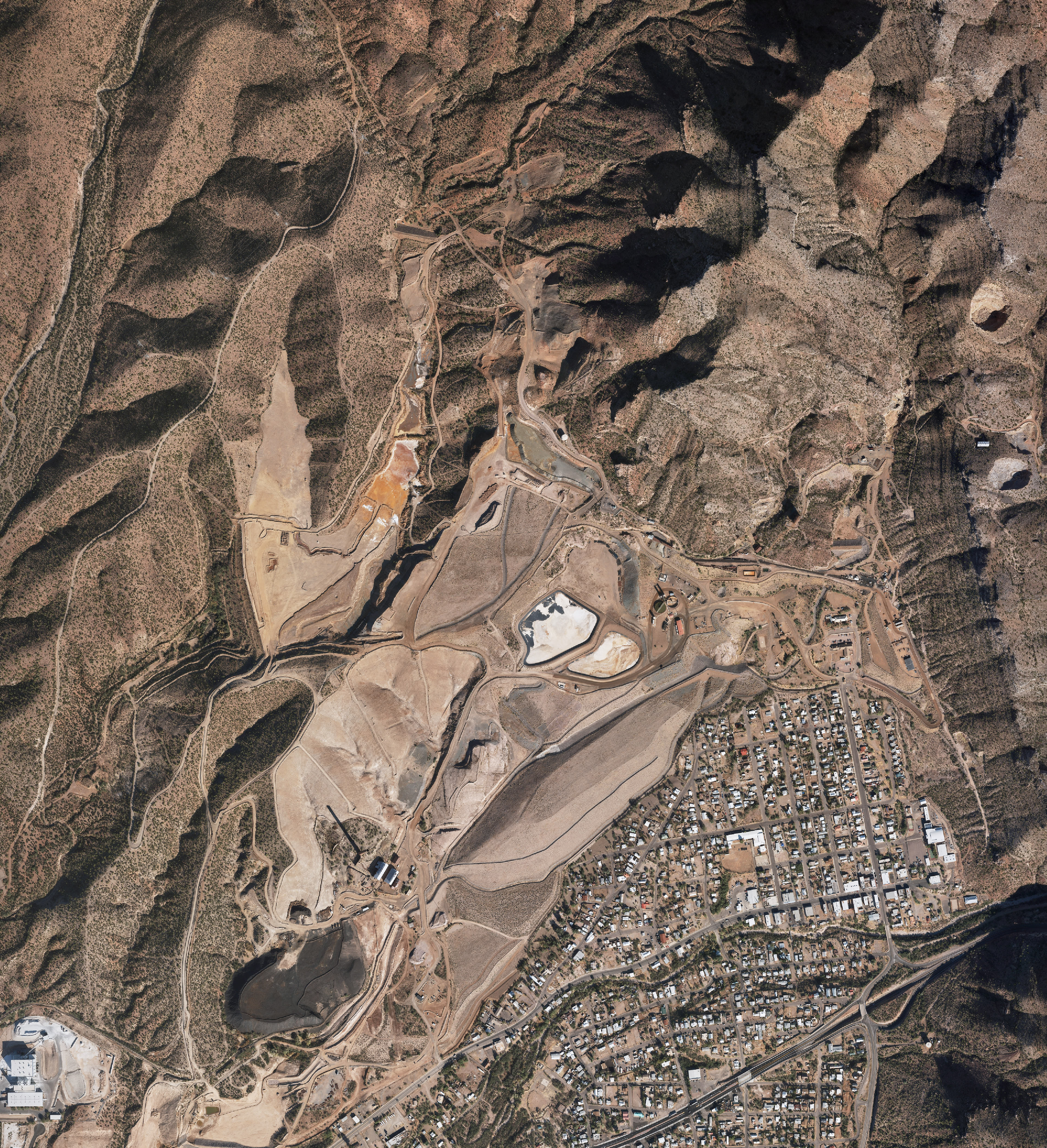
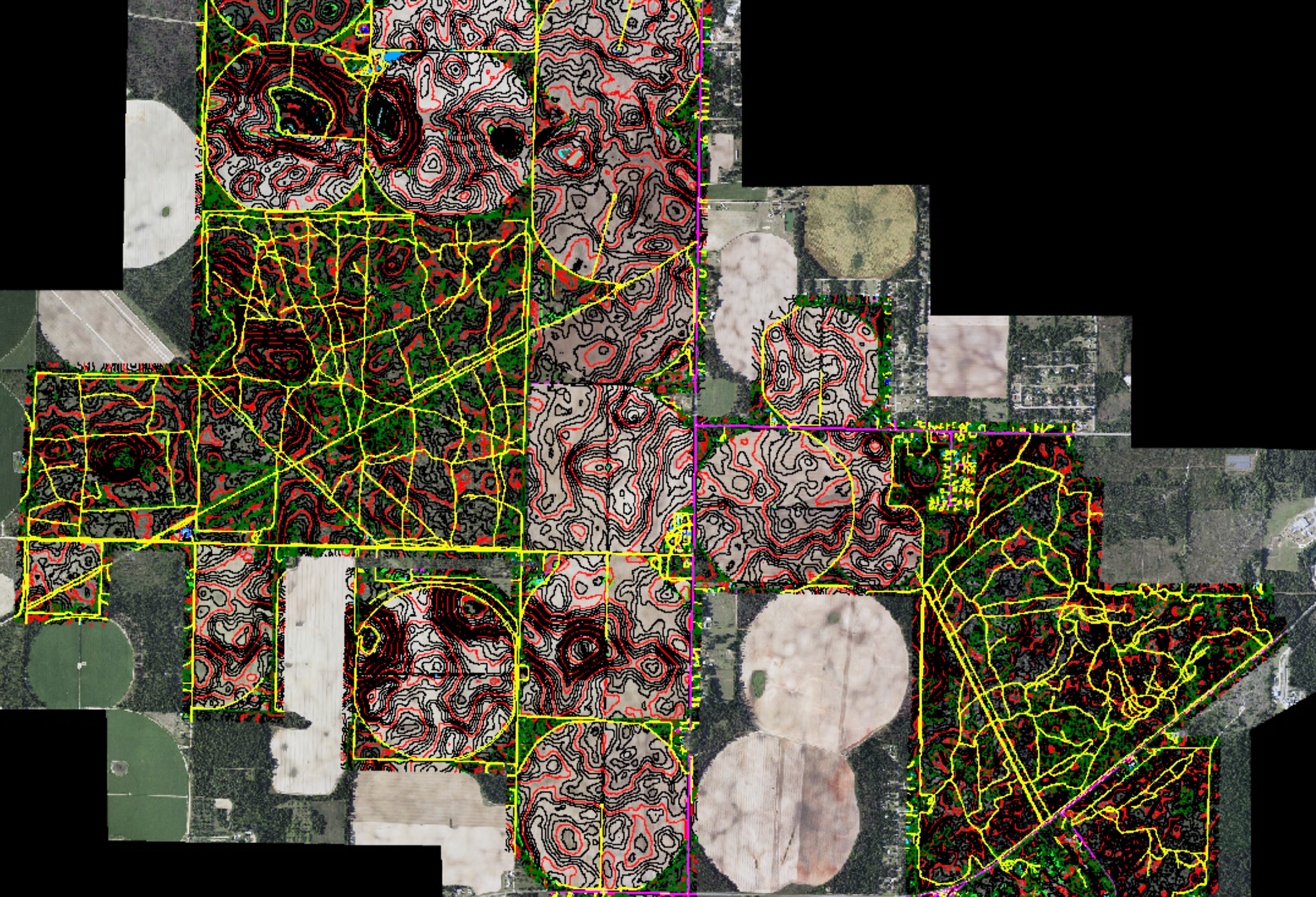
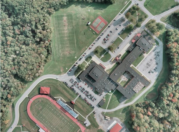
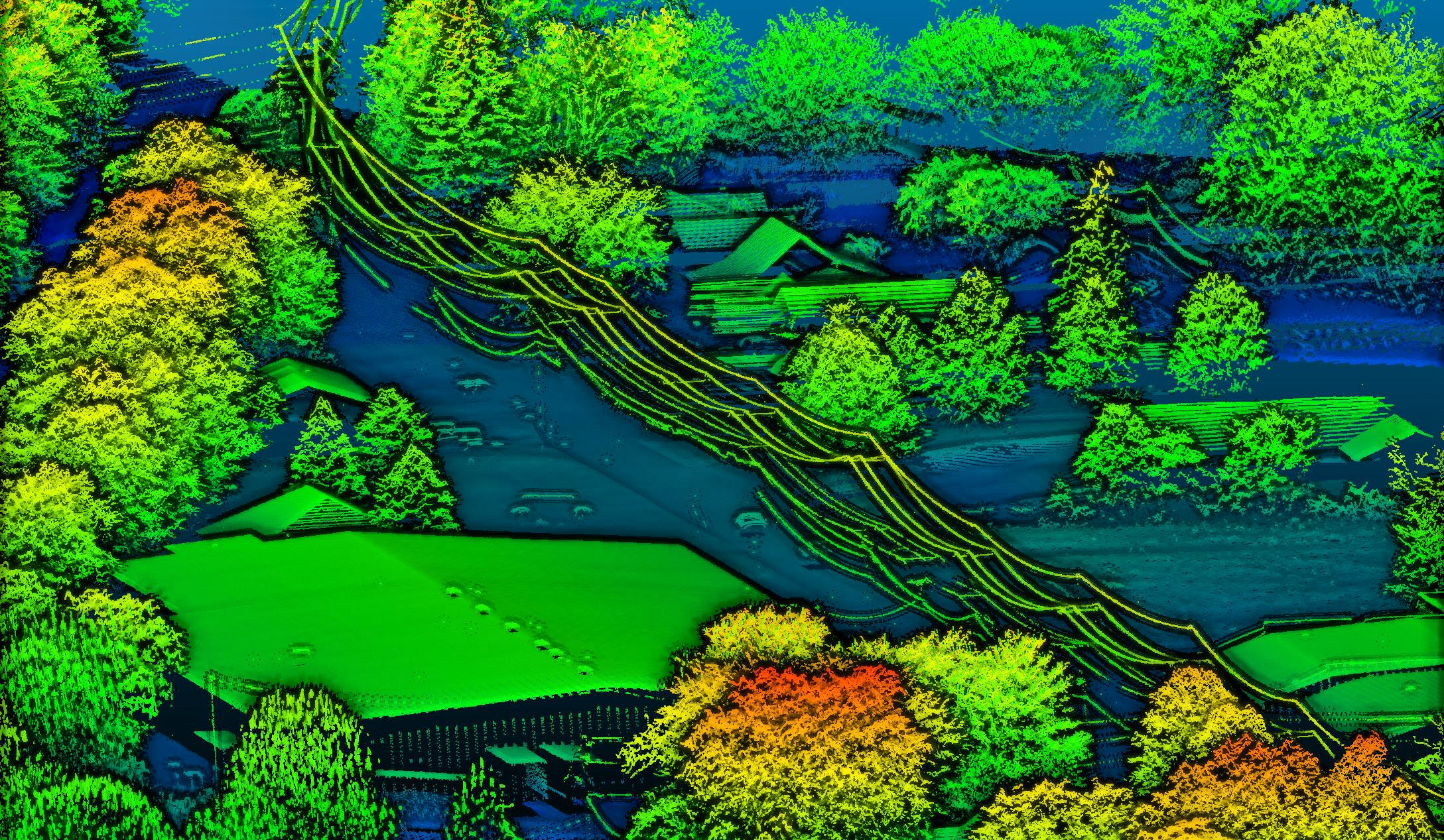
Cooper Aerial Surveys provides aerial mapping, LiDAR, photogrammetry, orthophotography, land surveying, and geospatial services throughout the United States.
Our teams routinely perform projects in Arizona, California, Nevada, Utah, Colorado, New Mexico, Texas, Pennsylvania, and across the continental United States.